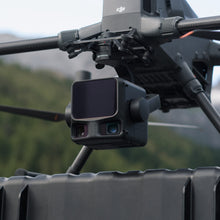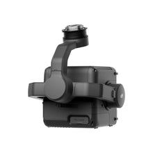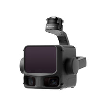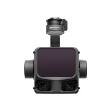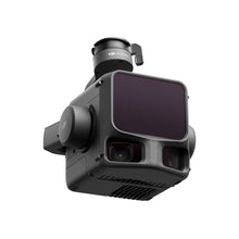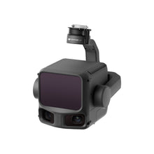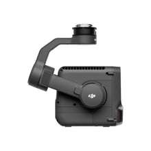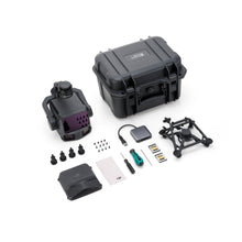
Key Features
- 1,200m Detection Range with High-Precision LiDAR Module
- Integrated 4/3-inch CMOS RGB Camera for True-Color Point Clouds
- Real-Time Point Cloud Preview in DJI Pilot 2
- 5 Returns per Pulse for Dense, Accurate Data
- ±2 cm Vertical Accuracy and ±5 cm Horizontal Accuracy
- 70° FOV and High-Scan Rate for Efficient Coverage
- Supports Multi-Platform Integration with DJI Matrice 300 & 350 RTK
- IP54 Rated – Rugged, Reliable, and Weather-Resistant
- Seamless Data Compatibility with DJI Terra and Third-Party Software
- Compact All-in-One Design for Faster Deployment
Precision LiDAR with Extended Range
Zenmuse L3 features an upgraded LiDAR module capable of detecting objects up to 1,200 meters away. With high-density point clouds and up to 5 returns per pulse, it captures complex terrain and vertical structures with stunning accuracy.
Integrated RGB Imaging
A built-in 4/3-inch CMOS RGB camera enables high-resolution colorization of LiDAR data, producing detailed, photo-realistic 3D models that simplify analysis and presentation.
Real-Time Point Cloud Visualization
Preview LiDAR data in real time through DJI Pilot 2, allowing operators to validate scan coverage and accuracy directly in the field—reducing post-processing time and on-site revisits.
Survey-Grade Accuracy
With ±2 cm vertical and ±5 cm horizontal accuracy, the Zenmuse L3 meets the demands of professional mapping, infrastructure inspection, and environmental monitoring.
Wide Field of View for Efficient Coverage
The system’s 70° field of view and fast scanning rate capture more data in each pass—ideal for large-area surveys, forest canopy mapping, or powerline inspection.
Seamless DJI Integration
Designed for plug-and-play use with the DJI Matrice 300 RTK and Matrice 350 RTK, Zenmuse L3 offers effortless setup, calibration, and compatibility with DJI flight and processing ecosystems.
Rugged and Reliable
Built to perform in demanding environments, the L3’s IP54-rated housing ensures protection from dust and rain, supporting operation in a wide temperature range.
Streamlined Workflow
All captured data integrates smoothly with DJI Terra, enabling rapid processing and export into leading GIS and CAD software for mapping, modeling, and analytics.


