18% GST chargeable at checkout, GST Invoice issued.
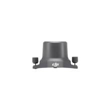
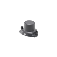
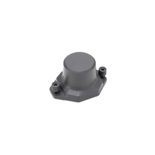
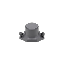
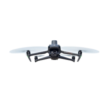
The DJI Mavic 3 Enterprise RTK Module is an essential accessory engineered to significantly enhance the precision and positioning capabilities of the DJI Mavic 3 Enterprise Series drones. This compact yet powerful module enables professionals in surveying, mapping, and inspection to achieve centimeter-level accuracy by seamlessly integrating RTK (Real-Time Kinematic) positioning technology directly into their drone workflows.
Key Features:
- Centimeter-Level Positioning Accuracy: Delivers exceptionally high-precision georeferenced data when utilized with DJI’s RTK network service or a custom base station.
- Plug-and-Play Design: Engineered for effortless, tool-free mounting onto the DJI Mavic 3 Enterprise (M3E) and Mavic 3 Thermal (M3T) drone series, ensuring seamless integration and minimal setup time.
- Real-Time Data Correction: Connects with DJI Cloud PPK Service or NTRIP (Network Transport of RTCM via Internet Protocol) to receive real-time correction data, guaranteeing exact aerial data capture.
- Survey-Grade Mapping Capabilities: Ideal for demanding applications like topographic mapping, accurate construction site modeling, and precision agriculture that require extremely precise results.
- Lightweight and Portable: Designed to maintain the drone’s agility and optimize flight time while adding powerful positional accuracy without compromise.
Compatibility:
- DJI Mavic 3 Enterprise (M3E)
- DJI Mavic 3 Thermal (M3T)
- DJI Pilot 2 App
- DJI Terra & DJI Cloud PPK Service
In the Box:
- DJI Mavic 3 RTK Module
- Mounting Interface
- Quick Start Guide
Ideal Use Cases:
- Surveying and Mapping
- Urban Planning
- Power Line Inspection
- Environmental Monitoring
- Land Management
- Precision Agriculture


