18% GST chargeable at checkout, GST Invoice issued.
Key Features
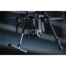
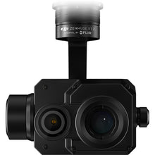
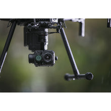
- Dual-Sensor Imaging: Combines a 12MP 4K visual camera with a FLIR Tau 2 thermal sensor, enabling simultaneous capture of high-resolution visual and thermal imagery.
- FLIR MSX® Technology: Embeds visual details onto thermal images for enhanced clarity and context, facilitating easier interpretation of thermal data.
-
Intelligent Features:
- Temp Alarm: Alerts operators when temperatures exceed predefined thresholds.
- HeatTrack: Automatically tracks the hottest object in view.
- QuickTrack: Locks onto a selected object for continuous monitoring.
- Temp Check: Provides real-time temperature readings at specific points.
- Isotherms Color Palettes: Customizable settings to highlight specific temperature ranges and enhance image interpretation.
- Weather-Resistant Design: IP44-rated enclosure allows operation in various environmental conditions, including light rain and fog.
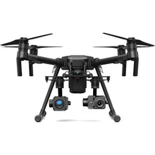
- Compatibility: Seamlessly integrates with DJI Matrice 200 Series and Matrice 600 Pro drones, offering plug-and-play installation and real-time control via the DJI Pilot app.
Applications
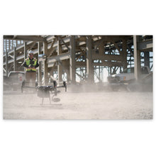
The DJI Zenmuse XT2 is engineered for a range of professional applications, including:
- Public Safety: Search and rescue operations, firefighting, and law enforcement surveillance.
- Infrastructure Inspection: Monitoring of power lines, solar panels, and pipelines for maintenance and fault detection.
- Agriculture: Crop health assessment and irrigation management through thermal imaging.
- Environmental Monitoring: Wildlife tracking and habitat analysis.


